Sensors track rock slide risk at Alps’ longest glacier
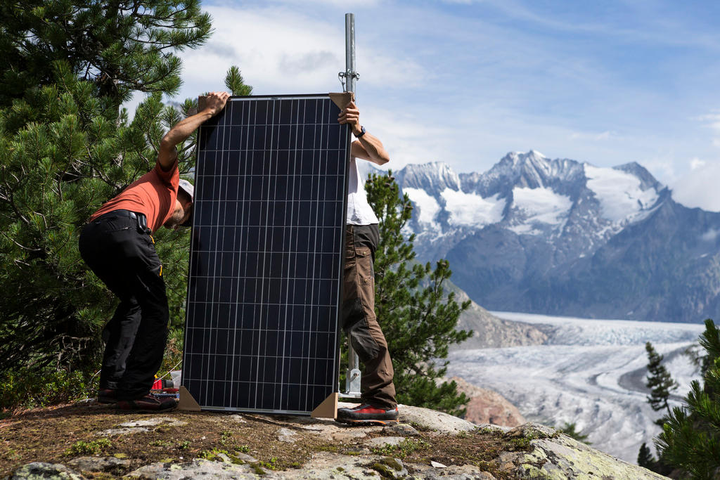
There are fears a major landslide – potentially one of the biggest ever in Switzerland – could happen above the Aletsch glacier. Extra sensors have been installed to measure slope movement.
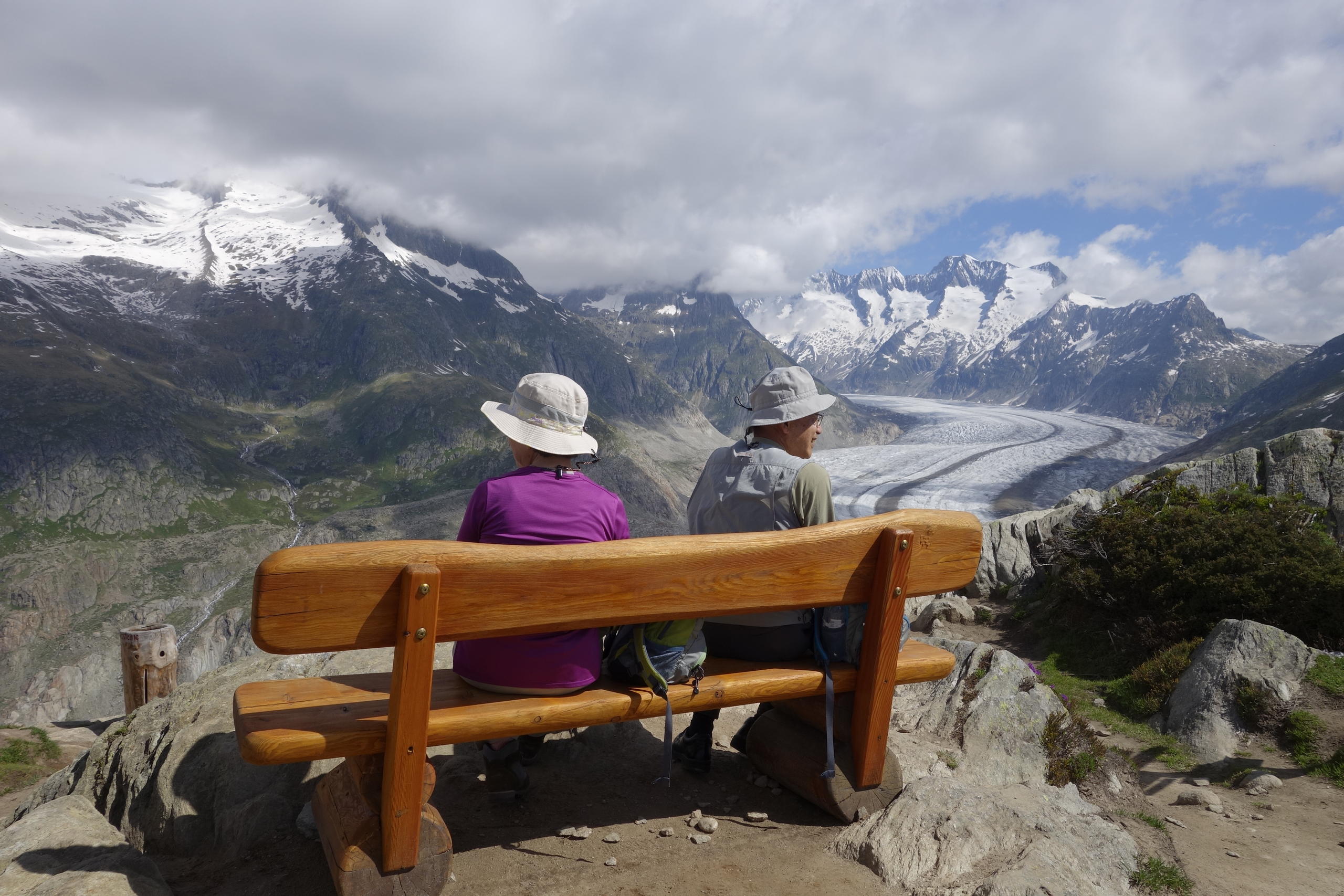
At 30km long, the Aletsch glacier is the largest in the Alps. It has shrunk significantly over the past decades due to global warming. In some places, where the glacier used to support the surrounding mountains, the ice has almost completely disappeared. This has increased the risk of rockslides.
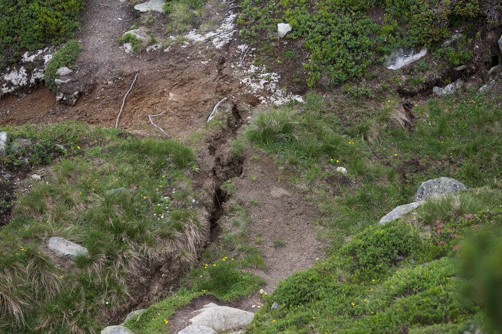
Geologists have discovered major cracks on one of the mountainsides at the Moosfluh. In mid October last year it was slipping by up to 80 centimetres day. This downwards movement has slowed to 12 cm a day but geologists expect the rate to pick up again.
“Nowhere else in the Alps have we recorded such a high slip velocity, on this scale it is enormous,” explained Hugo Raetzo from the Federal Office for the Environment (FOEN). External link
The expert was on the Moosfluh this week to help install 12 orange-coloured sensors, called geophones, to detect ground movement.
Advance warning
“This helps us understand what is happening underground,” said Raetzo. “The aim is that we will know a few days in advance if there are signs of a slope or mountain slide.”
Signs of a potential landslip cover two kilometres squared of the mountain. At the bottom of the slope huge cracks are visible, and visitors are banned from the danger area.
Any rockslide should be contained in the valley below and will not directly endanger the village of Riederalp. Raetzo does not expect the whole slope to break off at once; it is more likely that it will break off in parts.
Some six kilometres of walking paths have been closed since last year and most people stay off the site, Peter Schwitter, head of security for the Aletsch area, told Swiss public television SRF.External link
Highly monitored area
He said that the Moosfluh was one of the best monitored slopes in Switzerland. There is a radar system hooked up to a satellite, plus GPS, and a system with high-resolution pictures run by the Institute of GeodasyExternal link at the Federal Institute of Technology ETH Zurich.
The cable railway has also been affected, as it is situated on the edge of the danger zone. Opened in 2015, it was designed to withstand ground movement, which added an extra CHF10 million ($10.4 million) to the budget (final sum: around CHF23.5 million). Adjustments, using hydraulic supports, have already been made to the foundations.
Anton Franzen, head of engineering at Aletsch Bahnen AGExternal link, welcomed the new FOEN sensors. The more information the company has, the better the security, he said.
For the moment, it’s a question of waiting and seeing. “Nature sets the pace, not us,” he said.

In compliance with the JTI standards
More: SWI swissinfo.ch certified by the Journalism Trust Initiative




You can find an overview of ongoing debates with our journalists here . Please join us!
If you want to start a conversation about a topic raised in this article or want to report factual errors, email us at english@swissinfo.ch.