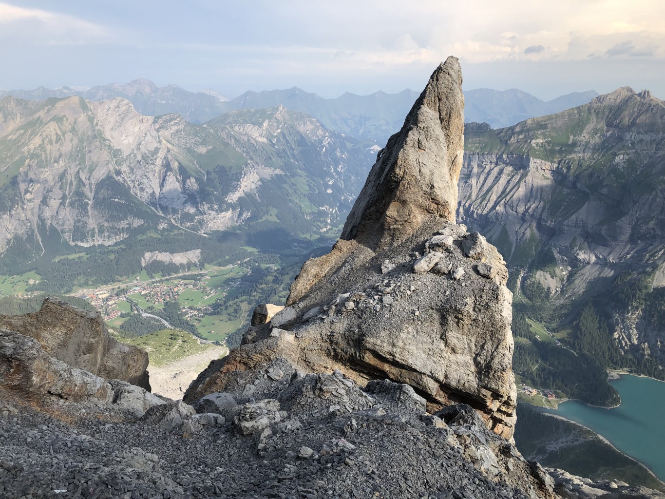
The seven worst landslides in Swiss history
On May 28 a huge chunk of a glacier in the Swiss Alps collapsed, causing a deluge of ice, mud and rock to bury most of the mountain village of Blatten in canton Valais. Here’s a look at some of the biggest landslide disasters in Swiss history.


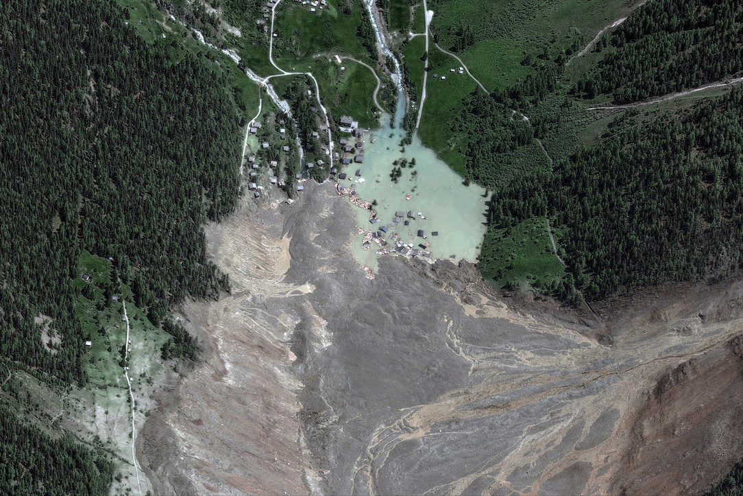
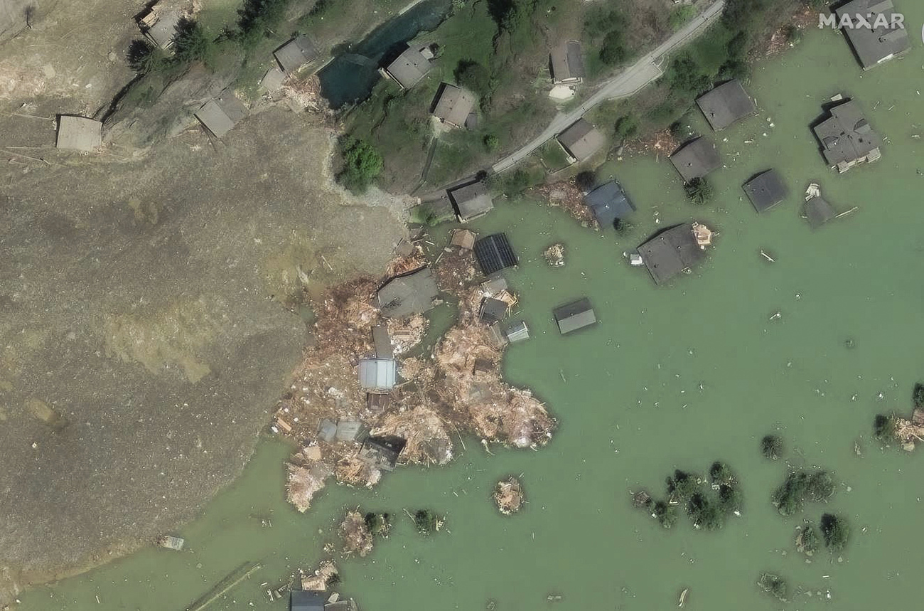
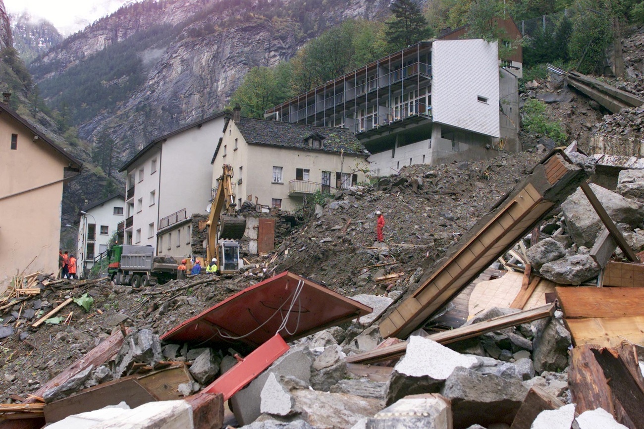
Blatten glacier collapse, canton Valais (2025)
In Blatten, in the Lötschental valley in canton Valais, an estimated nine million cubic metres of ice, mud and rock thundered down the mountain on May 28, destroying 90% of the village. The few houses that remained intact were later submerged in a lake created by the small Lonza River, whose course was dammed by the debris. A 64-year-old local man remains missing following the glacier collapse.
>> Watch the collapse of the Birch Glacier above Blatten in southern Switzerland on May 28, 2025:
The village’s 300 residents had been evacuated ten days earlier after part of the Kleines Nesthorn mountain above the Birch Glacier overlooking Blatten began to crumble. Around 4-6 million cubic metres of rocks had broken loose prior to the huge collapse and piled up on the glacier below, dragging it slowly down into the valley.
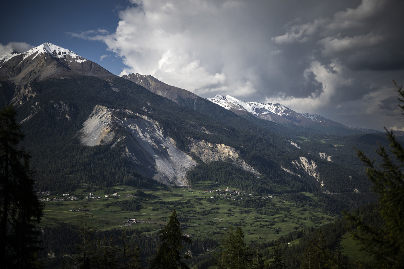
Brienz/Brinzauls landslide, canton Graubünden (2023)
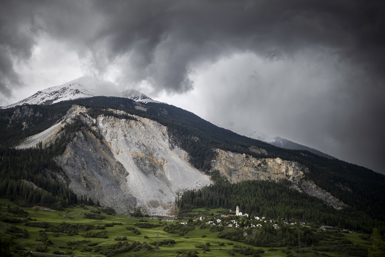
In May 2023 the authorities in Brienz/Brinzauls evacuated all 86 residents of the small mountain village in canton Graubünden after warnings of a possible mountain collapse.
Experts feared that two million cubic metres of rock could break loose and engulf the village. On June 16, a huge landslide crashed down the mountain leaving a metre-high mass of rock on the cantonal road near the village school building. There were no reports of damage in the village or injuries.
At present, residents can return to the village during daytime hours. But experts warn that the huge scree slope above the village could accelerate in the event of heavy rainfall and collapse in the coming years. As a result, they face future evacuations over the next five to ten years.
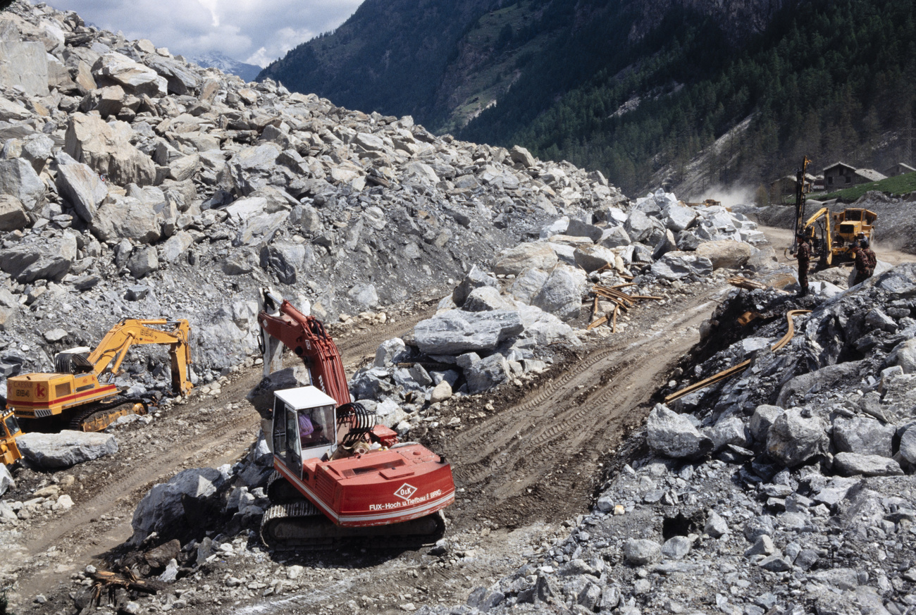
Bondo landslide, canton Graubünden (2017)
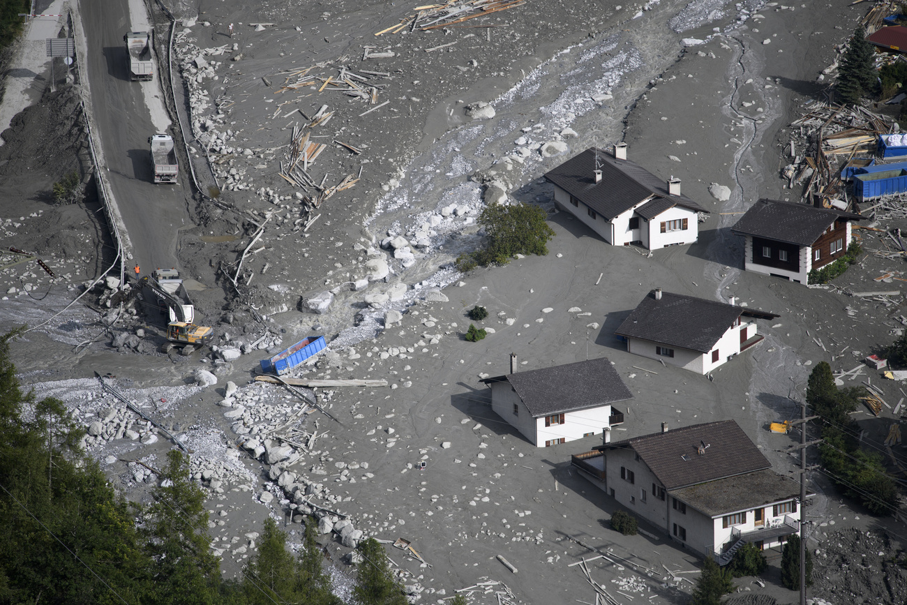
On August 23, 2017 three million cubic metres of rock crashed down from the Piz Cengalo mountain in eastern Switzerland, triggering a landslide into the valley. It was the largest landslide in Switzerland in over 130 years.
Rubble and mud flowed down the valley to Bondo and the surrounding settlements of Promontogno, Sottoponte and Spino. Eight hikers were killed, and the homes of ten people were crushed. In all, 147 residents had to be brought to safety. Damage was estimated at CHF41 million ($46 million).
YouTube video of the Piz Cengalo landslide in 2017 that hit the village of Bondo in canton Graubünden in south-eastern Switzerland.
The Swiss army helped with the rescue and clean-up operation and, later, most of the residents were able to return home. Dangers still exist, however. Protective infrastructure was therefore built after the disaster and a warning system will remain in place at least until 2024.
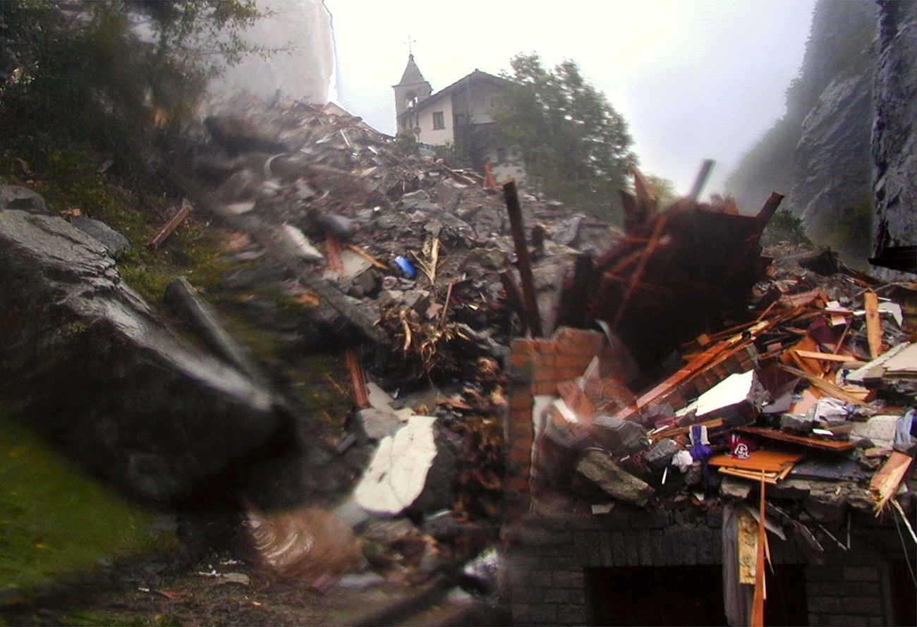
Gondo landslide, canton Valais (2000)
Thirteen people lost their lives in 2000 when the tiny village of Gondo on the Swiss-Italian border was sliced in two by a 40-metre-wide swathe of mud and rocks loosened by three days of torrential rain.
The landslide swept away ten houses, the school, shops and the road. Gondo was hardest hit, but other villages in Upper Valais were also cut off and houses were swept away.
Randa rockslide, canton Valais (1991)
In April and May 1991 two rockslides occurred from a cliff above the town of Randa in the Matter Valley in southern Switzerland. Almost 30 million cubic metres of rock and debris were released, burying rail and road links to the resort of Zermatt and damming the local river. There were no fatalities, but livestock, farmhouses and holiday homes were destroyed.
Elm rockslide, canton Glarus (1881)
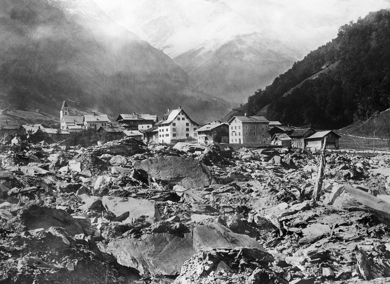
On September 11, 1881 a deadly rockslide occurred in Elm, canton Glarus. The rockslide was set loose when an open pit slate mine, dug into the side of a mountain, collapsed. It is estimated that ten million cubic metres of rock crashed down to the valley floor in a matter of seconds, burying people inside their homes and killing 114 of them.
Goldau landslide, canton Schwyz (1806)
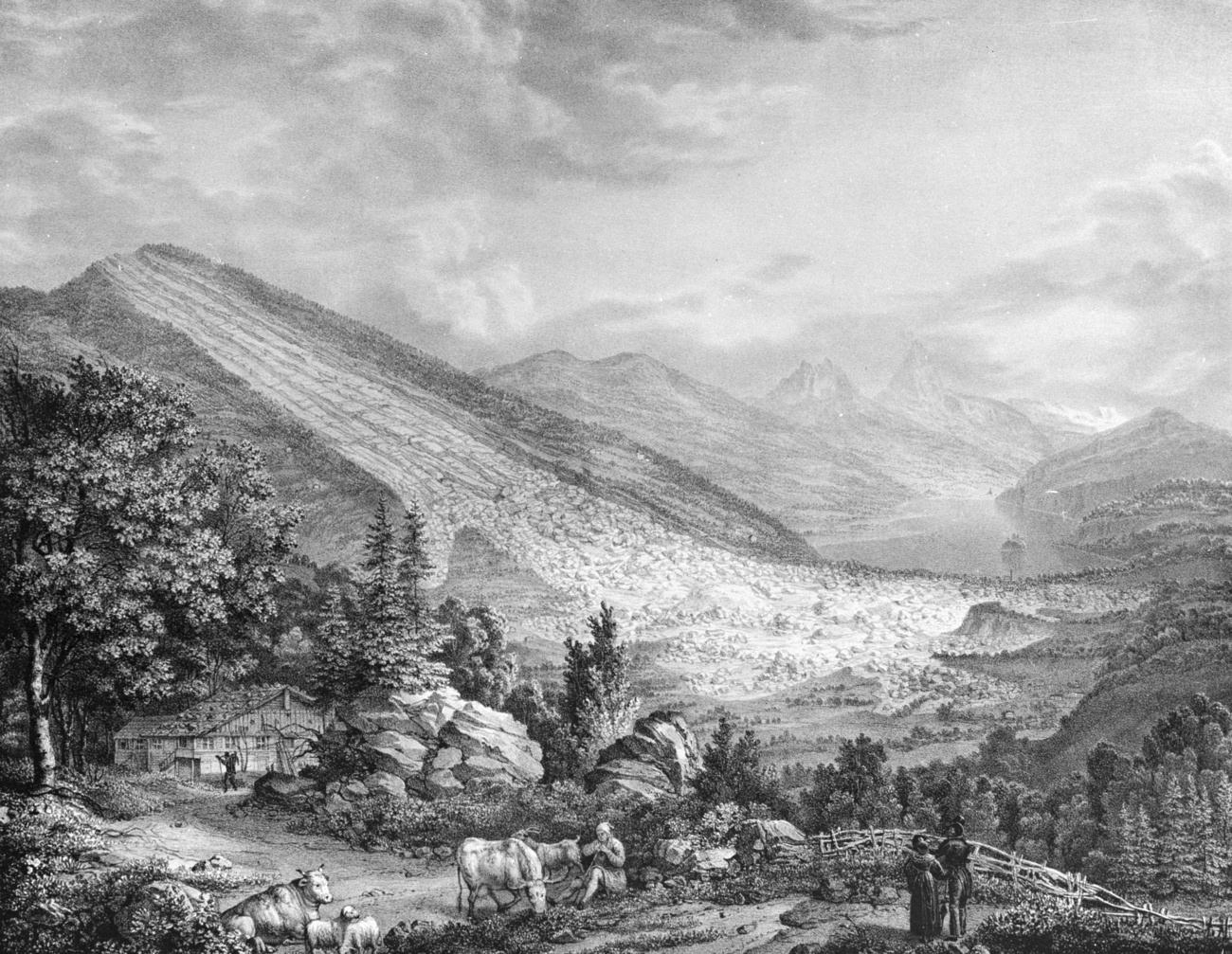
On September 2, 1806, a huge rockfall from the Rossberg mountain in central Switzerland destroyed the village of Goldau, claiming 457 lives and killing hundreds of cattle. Over 300 houses and barns were destroyed. The easternmost part of the rock mass hit Lake Lauerz, triggering a 15-metre-high tsunami. Around ten people died in the resulting flood on the southern shores of the lake.
More
Archaeological discovery confirms Lake Geneva tsunami research
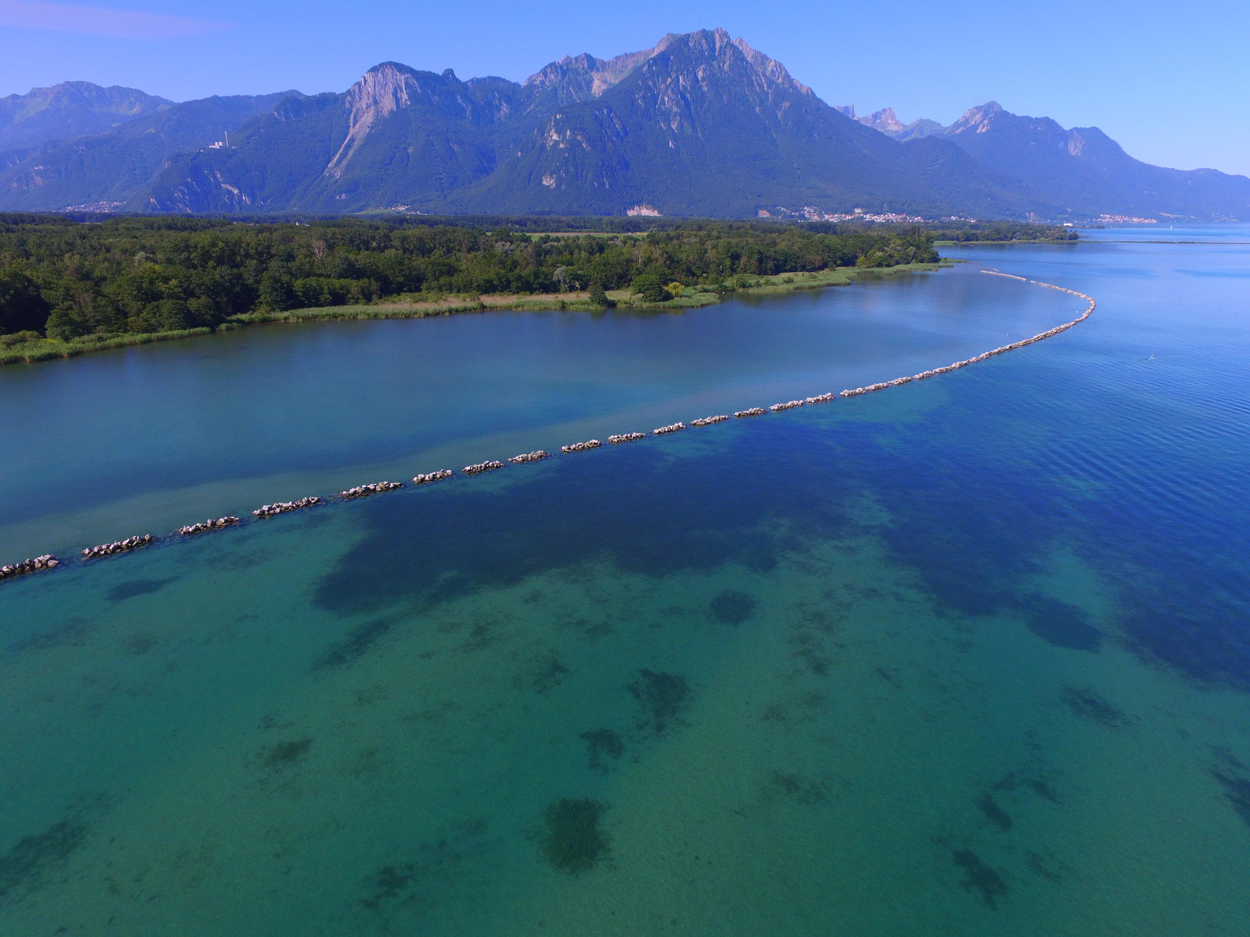
According to research by the University of Geneva, in 563 a massive rockfall at the eastern end of Lake Geneva caused part of the Rhone delta to collapse and slide into the lake, triggering a tsunami that caused considerable destruction around the lake.
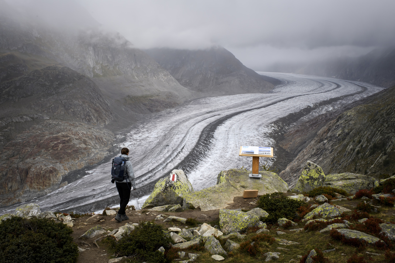
Permafrost and monitoring
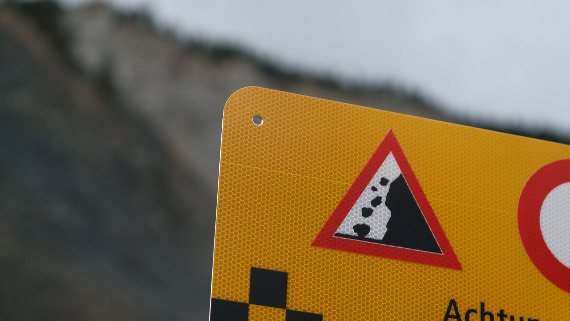
Switzerland is highly prone to natural hazards. Rockfalls and landslides occur everywhere in the mountains. The Federal Office for the Environment estimates that 6-8% of Switzerland’s territory is unstable and threatened by landslides and rockfalls, mainly in the Alps and lower Alpine regions. And around 7% of the Swiss population liveExternal link in areas that might be affected by avalanches, landslides, rockslides or rockfalls.
Rising temperatures, melting glaciers and thawing permafrost are underminingExternal link the stability of mountain slopes. Settlements below permafrost zones must increasingly expect landslides and mudflows in the years ahead.
In 2021 floods, landslides and rockfalls across Switzerland resulted in damage costs of about CHF450 million.
Protective structures can help prevent risks, but they are complex to install and expensive, according to the authoritiesExternal link. In high-risk zones, monitoring technology may be used. At Brienz four different systems have been deployed to monitor the crumbling mountain.

More
How retiring baby boomers could crash Swiss property market

More
The world’s strongest currency is also super-competitive

More
Why Iceland is becoming a glacier graveyard

More
Behind the scenes of Swiss diplomacy: salaries, facts and neutrality

More
‘The chalet is the first prefab house in history’


In compliance with the JTI standards
More: SWI swissinfo.ch certified by the Journalism Trust Initiative


You can find an overview of ongoing debates with our journalists here . Please join us!
If you want to start a conversation about a topic raised in this article or want to report factual errors, email us at english@swissinfo.ch.