Hiking among unstable Swiss mountainsides
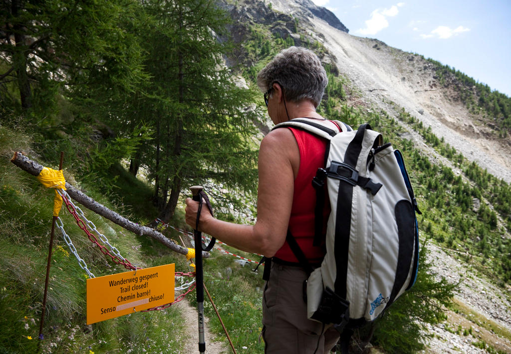
How are Swiss mountain trails kept safe in an era of landslides like the one that struck the town of Bondo last week, leaving eight hikers missing?
Requirements for Switzerland’s 65,000-kilometre (40,389-mile) network of hiking trails are laid out by the government, which stipulates that they must be kept in a state that is “as free of danger as possible”. Trails are carefully planned out to avoid high-risk areas. However, Swiss law does not specifically require trail maintenance authorities to evaluate the potential for natural events like rockfalls or landslides. That means hikers largely take to the trails at their own risk.
Trail maintenance is up to individual cantons, communes and local hiking organisations that look after paths in their area, posting warning signs or even closing them to hikers if the risks are too great. But, as the Swiss Hiking Trail Federation points out in its recent assessment of the country’s network, most trail closures due to rock falls or landslides are reactive and not proactive. In addition to their own monitoring, trail maintenance groups largely rely on feedback from hikers, forestry officials and farmers to inform them of any potential issues along mountain paths.
Once they are aware of the risk, trail maintenance officials may decide to monitor the area more closely, build protective barriers, loosen rocks pre-emptively or put up signs.
Sometimes, the path just needs to be re-routed. The hiking trail federation points out that areas of high risk for rock falls or landslides are very location-specific, meaning places right next to them might pose no risk at all. That’s what led to the construction of Switzerland’s longest suspension bridge near Zermatt in canton Valais.

More
A drone’s-eye view
Other times, the trail might need to be closed altogether. For example, about six kilometres of walking paths on the Moosfluh slope near the Aletsch glacier region have been closed since last year because of a landslide risk that’s one of the most significant in the country. The Moosfluh area is also one of the most-monitored slopes in Switzerland, outfitted with a dozen sensors that detect ground movement.
Christoph Hegg, who assesses natural risks at the Swiss Federal Institute for Forest, Snow and Landscape ResearchExternal link, told Swiss Public Television SRF that re-routed and closed hiking paths will become more common in the years to come as permafrost melts due to climate change, loosening rocks and sections of mountains.
Christian Huggel, a risk analysis expert at the University of Zurich, told SRF that researchers have already noticed more rock and landslides in the last three decades. And Ueli Mosimann, responsible for security at the Swiss Alpine Club, says there are certain hiking and climbing routes that the organisation simply no longer uses because of rock and landslide risks.
Bad luck in Bondo
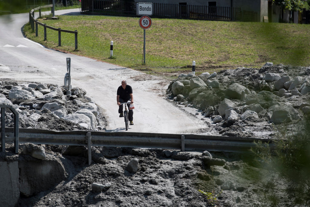
Bondo, the canton Graubünden town hit by multiple landslides last week that left eight hikers missing, was also located under a slope that authorities had had their eyes on for a while. They began evaluating it after a smaller landslide in 2011, noticing that the mountain had moved 30 centimetres in three years. An early warning system was put in place for the town below in case of a larger landslide, and it did its job last week. But it was unable to warn the hikers in time.
The mayor of Bondo told the media that her village “did everything it could” to mitigate risks from landslides. She said trails in the area were marked with signs warning of the risk of rock falls and that at least one path was closed off altogether.
A particular area above Bondo where the landslide hit had been marked high-risk and trail managers advised hikers to avoid stopping there to have a picnic, for example. But cantonal authorities felt the trail was not under imminent danger, since it was only used by small groups of hikers and the risk of a massive landslide like the one that took place was very small.
According to the caretaker at the Sciora mountain hut nearest to the landslide, his team warned all hikers who came through of the risks involved with hiking in the area – including the eight people who are still missing and presumed dead. They set off in groups of two from the Sciora hut for the landslide-affected area at 8 am on the morning of the disaster and never came back.
Risk areas
Risk maps maintained by cantonal authorities can help trail managers keep tabs on potentially unstable mountain areas. The risk maps for each canton (in German) can be found hereExternal link.
However, just because an area shows potential risk doesn’t mean an event like what happened in Bondo is imminent or even possible. Geologist Yves Bonanomi, who is in charge of assessing what happened there, told SRF the massive landslide was a “very exceptional event” because normally rocks fall near a predicted area and landslides occur later if there is significant precipitation that washes debris down the mountain. In Bondo, the rock fall and the landslide happened simultaneously.
How to stay safe
Especially on mountain routes (marked with white and red lines), the Swiss Hiking Trail Federation recommends that people bring along good topographical maps to make sure they stay on prepared paths.
Hikers planning high-mountain tours can inquire about the status of trails with the Swiss Alpine Club,External link the Swiss Hiking Trail FederationExternal link or Switzerland TourismExternal link to make sure they are not heading into risky areas or places where paths are closed.
Rock falls can be triggered by high temperatures, snow melt, strong winds, other hikers or animals. Hikers should not stay put in areas prone to rock falls (usually marked with signs) but should continue to walk through them and only take breaks in safe areas.

In compliance with the JTI standards
More: SWI swissinfo.ch certified by the Journalism Trust Initiative




You can find an overview of ongoing debates with our journalists here . Please join us!
If you want to start a conversation about a topic raised in this article or want to report factual errors, email us at english@swissinfo.ch.